A Monsoonal Visit to Kakadu
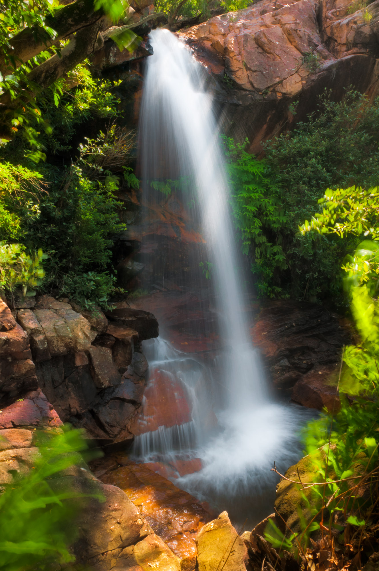
This waterfall has no name.
At least, it was unnamed on every map I checked. Perhaps this isn't surprising. In Kakadu National Park, on Australia's north coast, this waterfall is singularly unexceptional.
It is also ephemeral. A couple of months before this photograph was taken, it would have been a trickle at best.
A Monsoonal Climate
Kakadu lies deep within the tropics, but the torrential rainfall often associated with the equatorial region is absent for much of the year. A typical dry season, from May through October, sees under 3 inches of rain. It is fire, rather than water, that rules this season.
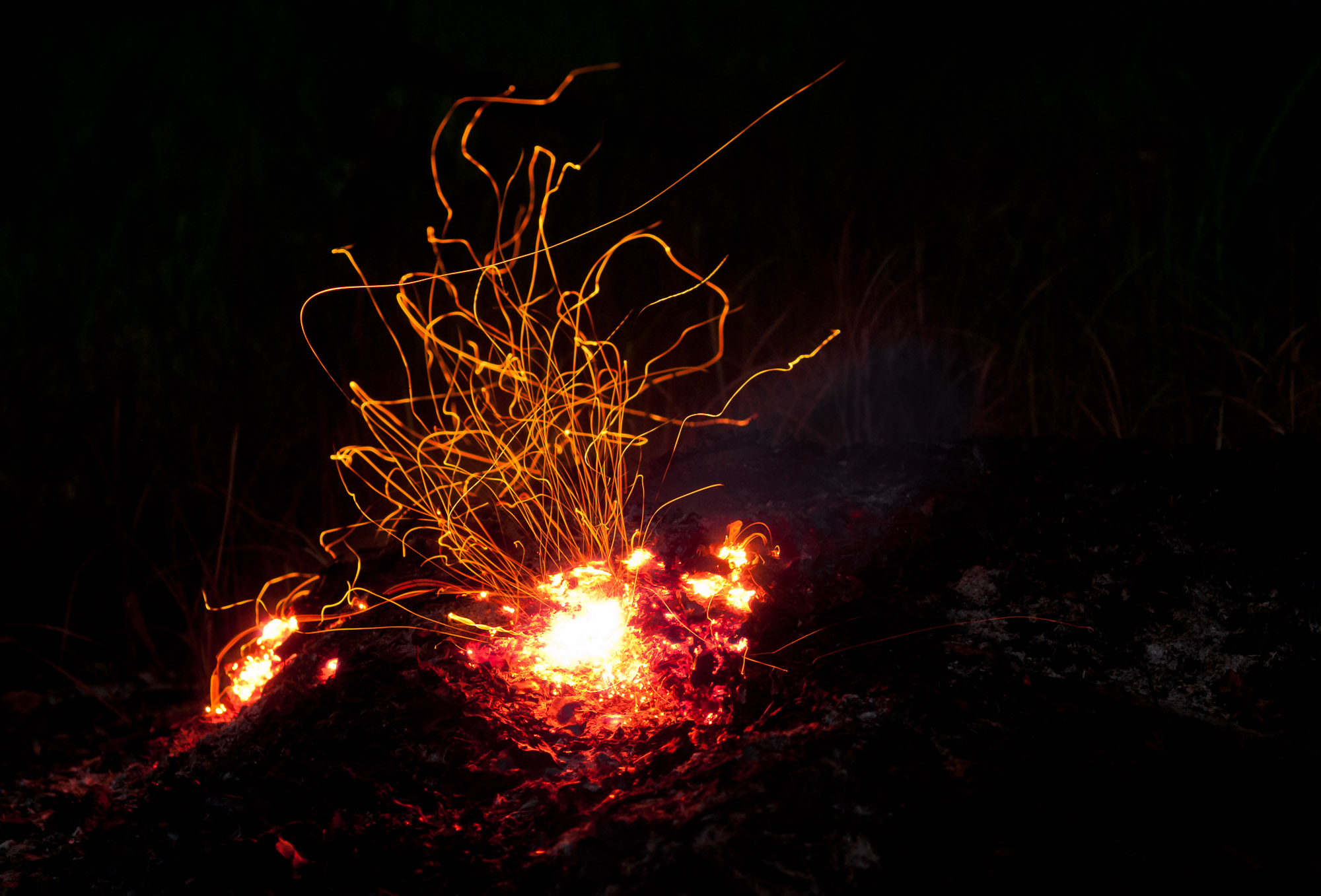
But in November, the monsoon returns. Moist air from the warm Arafura Sea streams inland. Daily storms occur, bringing rain that can measure a foot or more per month.

A Hundred-mile Cliff
Kakadu's landscape is dominated by the Arnhem Land Escarpment. This massive sandstone cliff, up to 600 feet high and over 100 miles long, stretches across the entire park.
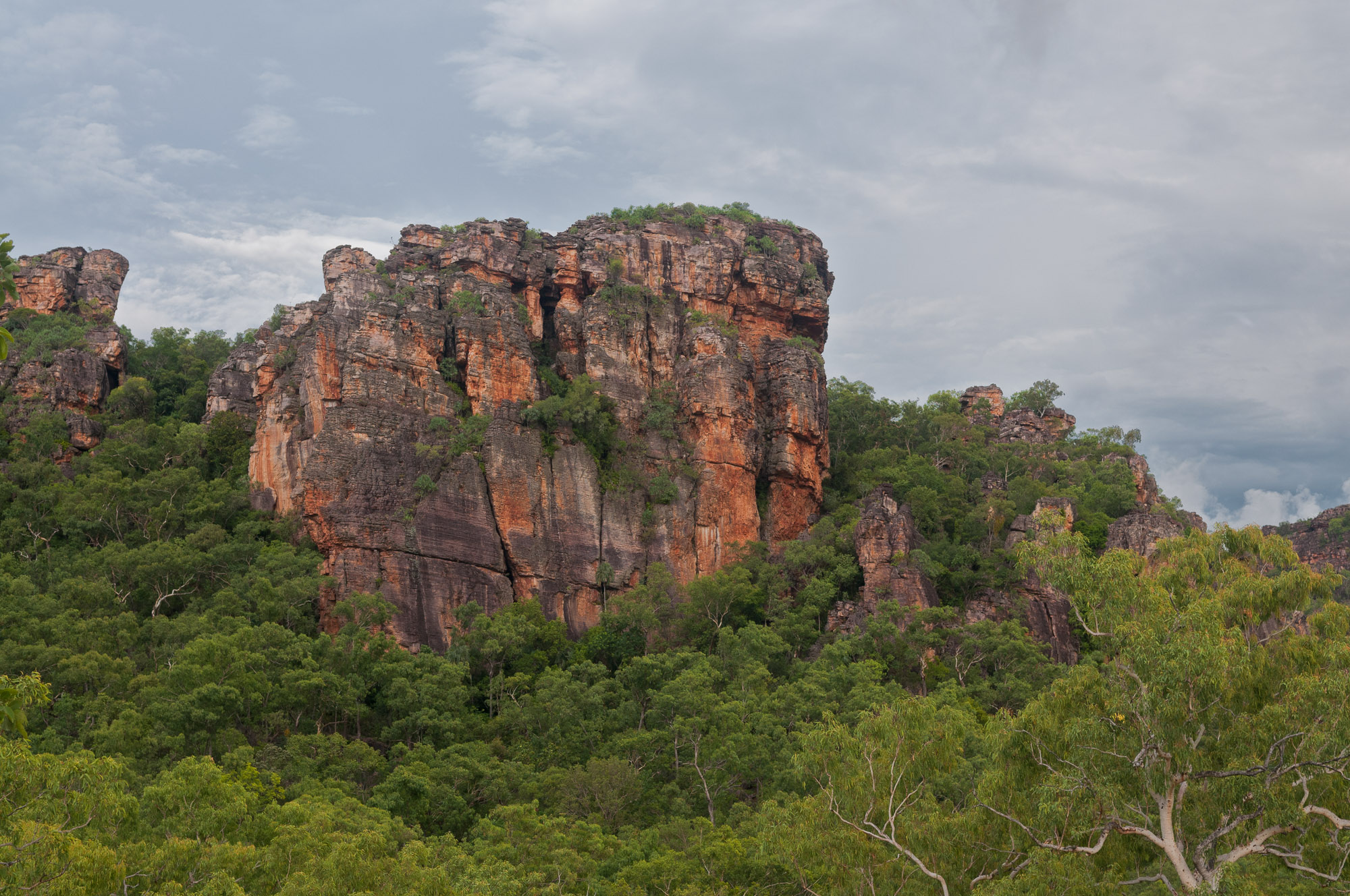
South of the escarpment lie the rugged highlands of the Arnhem Land Plateau. With the monsoon's arrival, its formerly dry streams and rivers fill and flow north until, reaching the escarpment, they tumble over the edge, forming innumerable waterfalls.
A Vast Wetland
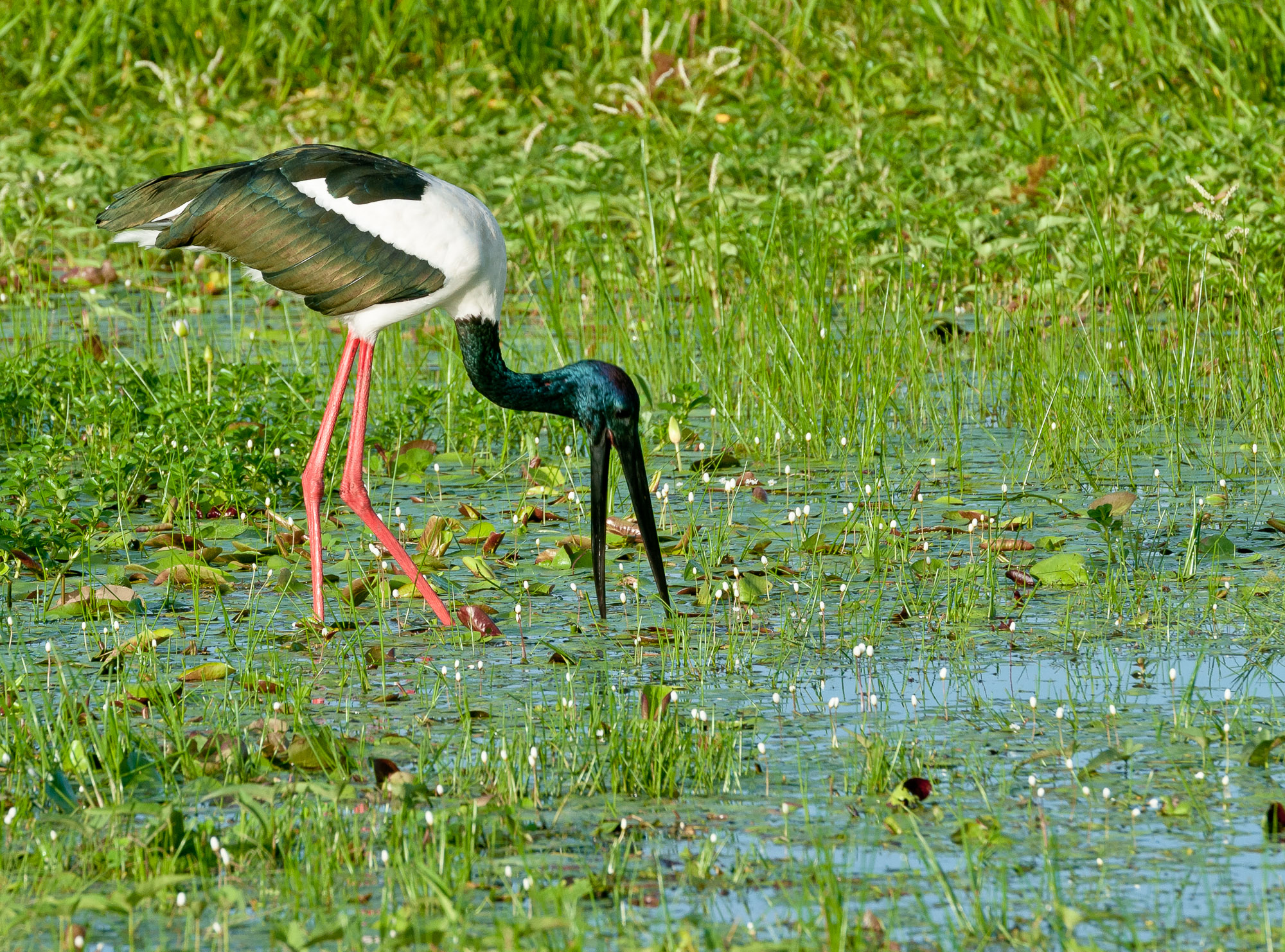
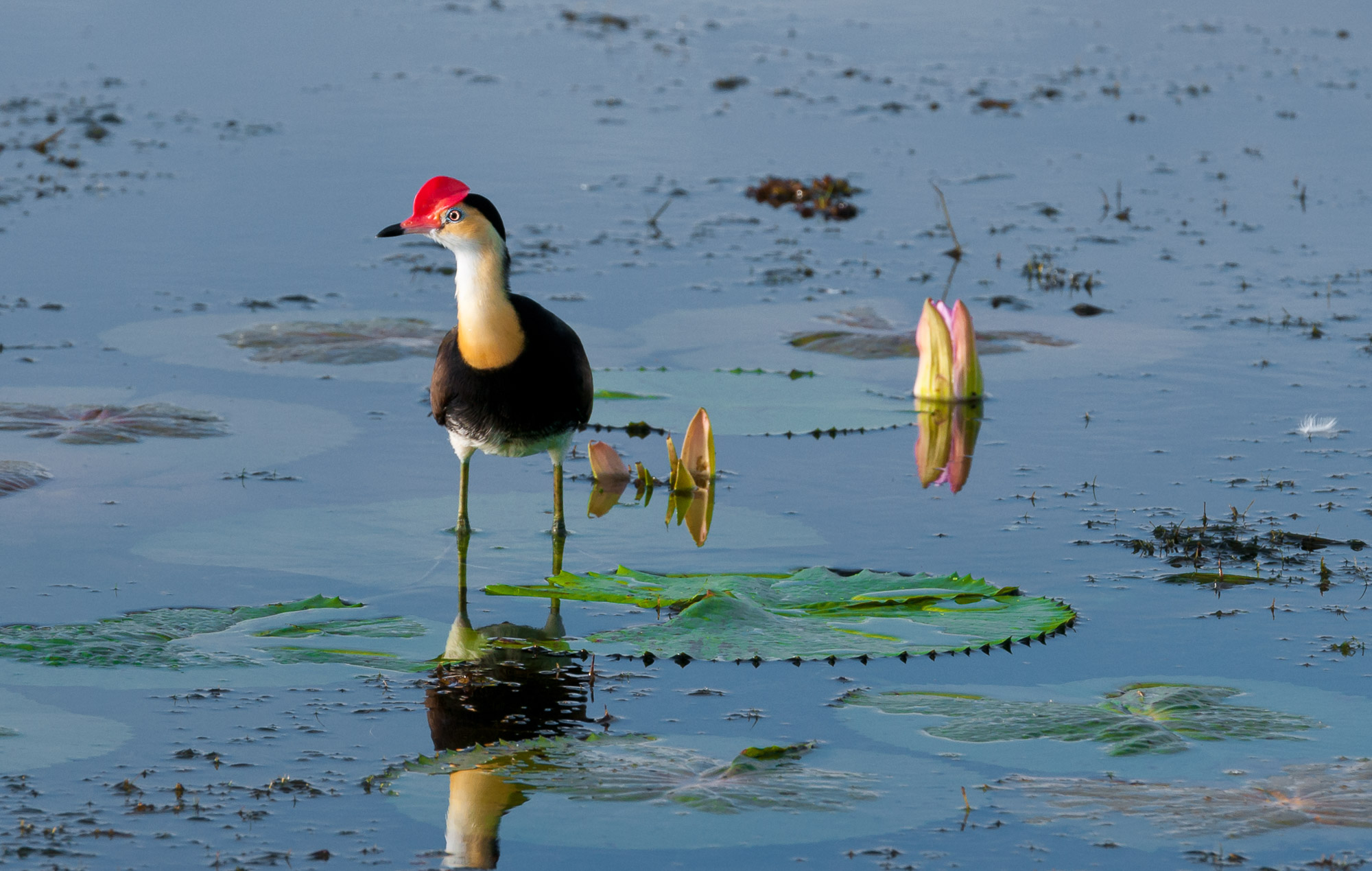
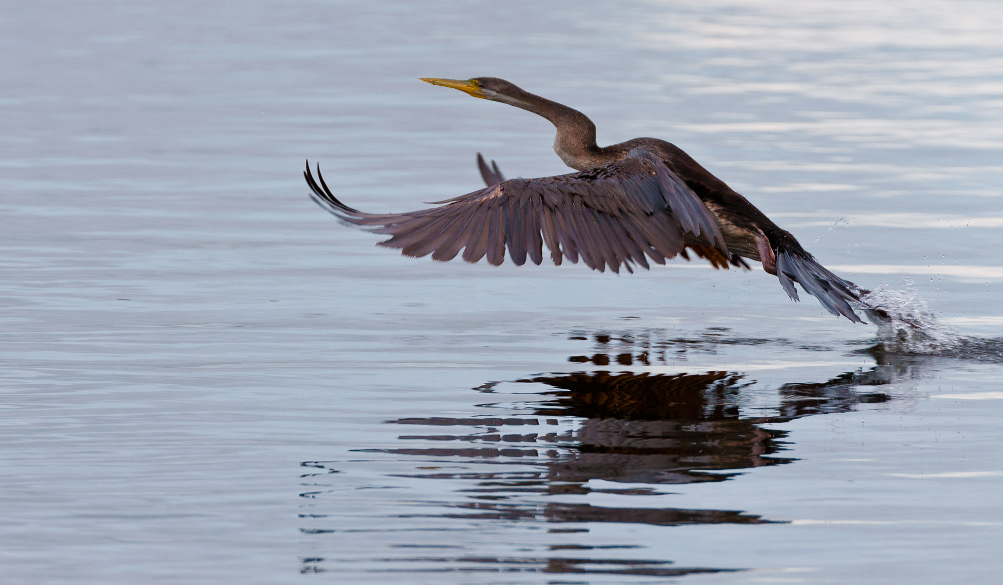
North of the escarpment, the water spreads out across wide floodplains, creating a network of seasonal wetlands.
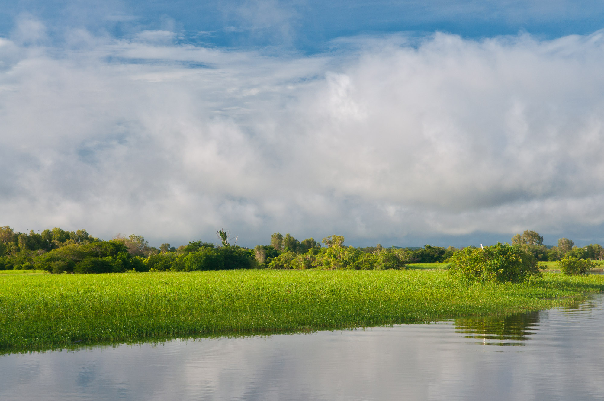

These wetlands are rightly famous for the abundance of birdlife they support.

Back Into the Sea
After nourishing the interior wetlands, the water continues north, eventually reaching the coast and flowing back into the sea from which much of it originally evaporated.
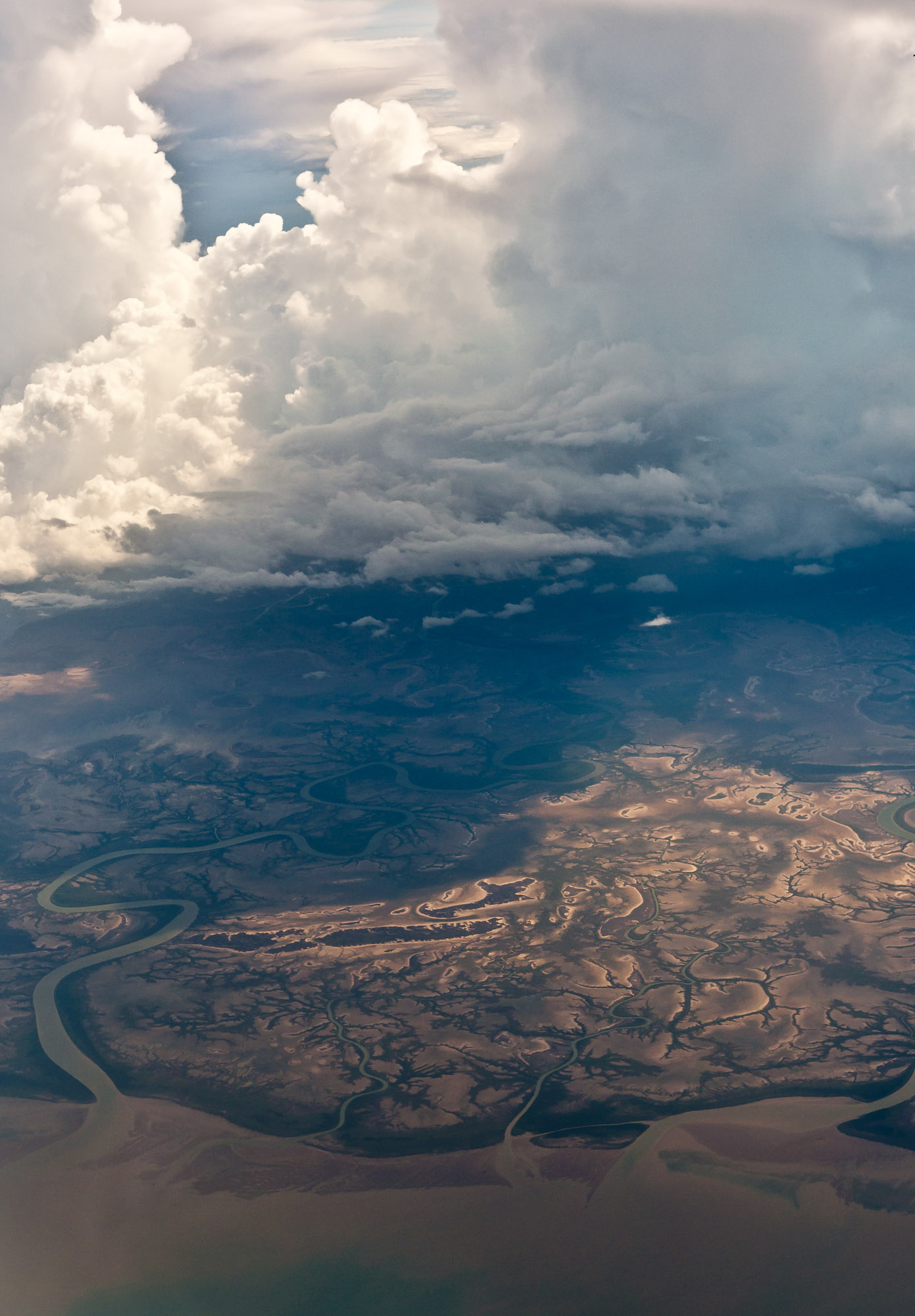
I didn't originally envision this page as an essay on the hydrologic cycle. But browsing my photos, it seemed the most logical story to tell. During the wet season, the flow of water dominates life in Kakadu. If you choose to visit during this time, it will dominate your stay as well.